



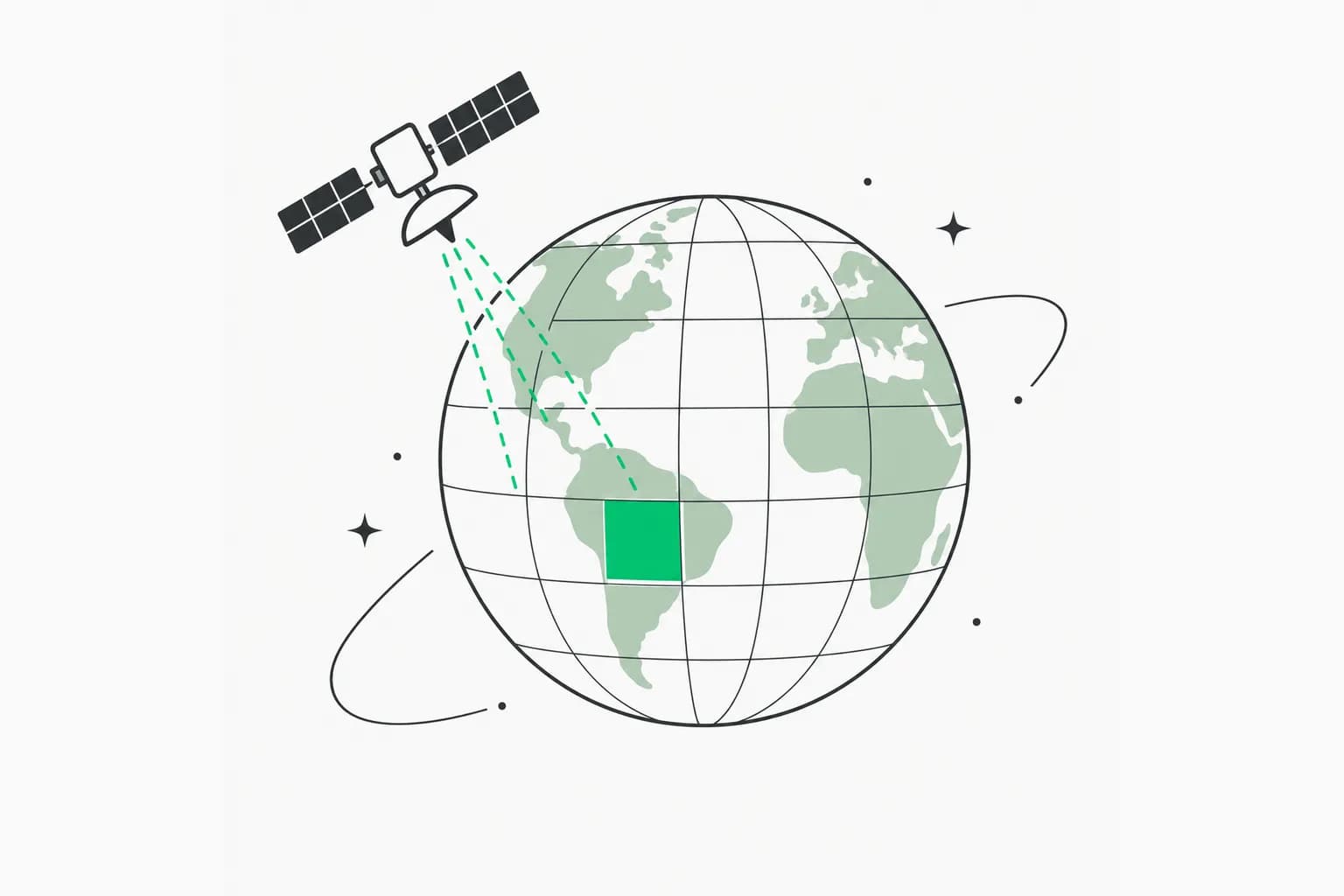
Google Research has opened early access to an experimental Earth AI Geospatial Reasoning agent, a Gemini-based system that plans multi-step map and satellite analyses instead of guessing at them. In a technical report and blog post dated October 14, 2026, authors Shravya Shetty and Luke Barrington say the combination of domain-specific foundation models, spatial tools and upfront planning does what "standalone LLMs can't". The release also ships two new open benchmarks and a set of partner pilots, including one with the WHO regional office for Africa during the 2026 Ebola outbreak.
This post covers what is actually new, how the evaluation works, what the partner results do and do not prove, and how to request access. For the earlier pieces of this story, see our coverage of the Planetary Prediction Engine and of Google Earth AI mapping hedgerows and farm landscapes.
Quick reference
| Question | Answer |
|---|---|
| What is it? | An experimental Gemini agent that calls Earth AI models and Google data through modular skills |
| What is new on Oct 14? | Technical report, two benchmarks, partner pilots, expanded early access |
| Who made it? | Google Research (Earth AI team) |
| Is it public? | Limited early access via interest form |
| How do developers reach it? | An experimental headless agent-to-agent (A2A) service plus integration recipes for Gemini |
| Which models were evaluated? | Gemini 3.8 Flash and Gemini 3.1 Pro, per Google |
| Biggest caveat | Output is described as a first draft for experts; one benchmark is autorater-scored |
What the agent connects to
The agent links Gemini to the Earth AI foundation models Google has been rolling out for two years: WeatherNext, Flood Forecasting, the Population Dynamics Foundation Model (PDFM), AlphaEarth Foundations and Remote Sensing Foundations. Beside those it reads Google Maps Platform data (place information, routing, air quality, rooftop solar potential), Google Earth Engine, Data Commons and Google Dataset Search.
That list matters because the hard part of geospatial work is rarely the language model. It is knowing which of a dozen specialised datasets answers the question, in which format, at what resolution, and how to join them. Google's argument is that a general model with a code interpreter wastes effort and makes unreliable assumptions here, while a model that knows the right tools does not.
Four design choices that make it work
Google names four capabilities in the post.
- Foundation models and planet-scale data. The agent can pull weather forecasts, flood hydrology, population dynamics and satellite embeddings in one analysis.
- Modular skills. Earth AI capabilities are packaged as skills that the agent calls only when a question needs them. This is the same pattern developers know from agent skills: load specialised instructions and tools on demand instead of stuffing everything into context.
- Upfront planning and a spatial workspace. Before running anything complex, the agent writes a step-by-step plan, chooses fallback datasets where local coverage is thin, and keeps large map layers in a dedicated workspace outside the context window. Every answer shows the plan and the data sources.
- Bring your own data. Users can supply CSV spreadsheets, GeoJSON boundaries or cloud tables and ask the agent to join them with Earth AI's global models.
The workspace idea is the most transferable. Raster and vector layers are far too big to paste into a prompt, so the agent works on them with tools and only reads back summaries. Anyone building MCP-style tool servers for large data faces the same constraint.
From answering questions to Planetary Prediction
The same agent drives the Planetary Prediction Engine Google announced earlier. Given a user's local outcome data, such as regional disease rates, crop yields or grid outages, it selects relevant population and environmental signals, fuses Population Dynamics Insights with Custom Satellite Embeddings (products built on PDFM and AlphaEarth Foundations) and trains validated machine learning models for spatial prediction, super-resolution downscaling and forecasting.
Google cites its recent public health research: combining population and satellite signals improved predictions of health outcomes by 12% over demographic baselines and enabled mapping at 8x finer spatial resolution. That figure comes from Google's own prior research, so treat it as a vendor result until independent teams reproduce it.
How Google evaluated it
The technical report compares four configurations across Gemini 3.8 Flash and Gemini 3.1 Pro:
| Configuration | What it has |
|---|---|
| 1. Standalone LLM | Base model only |
| 2. LLM plus basic tools | Web search and maps grounding |
| 3. LLM plus Earth AI tools | Skills such as Remote Sensing Foundations and WeatherNext 3, no planning stage |
| 4. Full Geospatial Reasoning agent | Skills plus a dedicated planning stage |
Four benchmarks cover the range. CBGB tests geospatial code generation and UnivEARTH tests question answering; both were built outside Google. Google built two new ones and released their development splits in full:
- GeoKTools has templated queries with verifiable answers, each requiring the right selection and use of one to four distinct geospatial tools.
- GeoExpertQueries has complex, real-world, open-ended queries with expert-written "golden workflows" in areas such as crisis resilience, site selection and public health.
Google's write-up shows what the benchmarks look like. On the left, a GeoKTools query asks which Nebraska county is farthest from Carhenge and what its median age was in 2019, which needs Maps data, Data Commons boundaries and Census demographics chained together. On the right, a GeoExpertQueries task asks for InSAR coherence-change damage estimates for the 2022 Pakistan floods, with a five-step golden workflow and deliverables including a damage map and a reconstruction-priority table.
What the results say
Google's two takeaways:
- Domain skills are essential. An agent with only web search, maps grounding and code execution struggles on quantitative spatial tasks, and adding Earth AI skills produces a significant jump across GeoExpertQueries, GeoKTools and CBGB. The exception is UnivEARTH, where even a standalone LLM scores 93.6%, which Google attributes to the NASA source articles being on the public web. That is a useful reminder that a benchmark whose answers are online measures memory.
- Planning unlocks open-ended work. Skills alone are enough for narrower tasks like CBGB and GeoKTools, but GeoExpertQueries needed the planning stage to keep the agent on track and stop it taking shortcuts such as using web search instead of spatial tools.
The blog post shows its scores in a table (0 to 100, averaged over three runs, each benchmark scored differently, so compare within a row only). We are not reproducing individual numbers here beyond the 93.6% Google states in text; read the table and the report directly.
Limits Google states
GeoExpertQueries scores come from an autorater that compares the agent's performance with the expert workflow, not with a correct final answer. Google therefore frames the output as "a strong first draft for experts to review and build on, not a final answer". An LLM grading another LLM against a procedure is a reasonable proxy, but it is not the same as ground truth, and the report is Google's own.
The partner pilots, claim by claim
Google invited social-impact and commercial partners to test the agent on real workflows. Everything below is Google's description of the pilots and quotes from partner staff.
| Partner | Task | Reported result |
|---|---|---|
| WHO AFRO and DRC's INRB | Map mining corridors at the start of the 2026 Ebola outbreak by combining forest loss, mining sites and population data | 48 exposed settlements and more than 45,500 at-risk people identified in minutes, versus weeks normally; INRB's UMIE unit used the Planetary Prediction Engine for weekly spread-risk estimates |
| People in Need | Analyse 14 historical cyclone paths for high-exposure villages | Minutes instead of days of manual GIS work |
| GiveDirectly | Population exposure by wind-speed zone during Tropical Cyclone Maila; tornado damage benchmarking in Mississippi | Crisis scoping cut from days to minutes |
| Milken Institute | Screen 1,500+ candidate buildings for resilience hubs using the Solar API and census data | Combined rooftop solar, mobility, transit, climate risk and investment-zone eligibility |
| WPP | Join proprietary data with Population Dynamics Insights for campaigns | Case study says performance improved while data stayed private |
The WHO example is the most striking, and also the one to read most carefully. "In minutes" describes the analysis step. Deploying mobile laboratories and coordinating border surveillance still depends on people, and Google does not publish an accuracy audit of the 48 settlements or the 45,500 figure. The WHO quote Google includes calls the tool a way of "moving us from reactively chasing a virus to actively forecasting where it will strike next", which is a statement of value from a user, not a measured outcome.
How to get access
Google is giving limited groups three routes, all through an interest form:
- Ask Google Earth: an experimental deep research update inside the chat interface, where you can ask spatial questions in natural language and analyse your own data in Earth projects.
- Geospatial Reasoning agent API: an experimental headless agent-to-agent (A2A) service so developer teams can connect the agent to their own agents and pipelines, with step-by-step recipes for Gemini for business environments.
- Planetary Prediction Engine: early preview through an interactive interface and the Agent API.
There is also an Early Access Pool for Google's wider experimental projects. Nothing here has a public price or general-availability date in the post.
What this means for builders
- Agents beat bare LLMs when tools and data are specialised. Google's own ablation, standalone model to tools to tools plus planning, is a template for testing your own agent.
- Planning before execution is cheap insurance. The report credits the planning stage with preventing shortcuts. Many agent builders add a plan step informally; this is a measured argument for making it explicit. Our write-up of agent reflection patterns with noisy tools covers a related line of work.
- Show your work. Displaying the plan and data sources lets domain experts audit assumptions. In high-stakes settings such as outbreak response this matters more than raw accuracy.
- Check benchmark contamination. The 93.6% LLM-only score on UnivEARTH is a clean illustration of how public answers inflate a baseline.
- Use the released splits. The GeoKTools and GeoExpertQueries development sets let you test your own geospatial agent against Google's.
The geospatial angle also appears in other agent-in-science stories we have covered, such as Claude Code finding a planet candidate in NASA TESS data and Opus 5.5 agents screening magnetic semiconductor candidates. The common thread is agents that orchestrate specialised tools and data rather than answering from memory.
Open questions
- No independent evaluation yet. The benchmarks, the autorater and the partner stories are Google's.
- Access is gated, so outside reproduction of the partner results will take time.
- Costs, rate limits and licensing for commercial use of the A2A service are not stated.
- How the agent handles sparse or contradictory local data beyond "selecting fallback datasets" is described only at a high level.
Related reading
- Planetary Prediction Engine: Google Earth AI automates global models
- Google Earth AI and hedgerow mapping
- WeatherNext 3 hourly 5 km global forecasts
- DeepMind WeatherNext cyclone forecasting
- What are agent skills? A complete guide
- What is MCP?
- Official: Google Research announcement and the earlier Planetary Prediction Engine post
Details reflect Google's announcement as of October 14, 2026 and may change as access expands.